Possible world map editing method for WC3 found on Baidu
Mar 20, 2017 3:45:28 GMT
via mobile
Aleksandr Vasilevsky and vasiliy like this
Post by Bismarck Jr on Mar 20, 2017 3:45:28 GMT
I risked the risk of sudden death finally sorted out the way to modify the terrain of the plot # (insidious) map is part of world.bin, this file can be opened with Hex Editor, from the beginning of the 86000000 (map line with hexadecimal Of the 86 lattice) 30000000 (a column of hexadecimal 30 lattice) after all the plots of information.
The circle is a standard plot of information units, as 14ff0000 is very common, it may be seen as a marker. The first two figures are the terrain type and appearance, such as: 00 is nothing of the land, 01 is the ocean, 02 is the desert, and each terrain has a different appearance, determined by the second digit. The third and fourth digits are the horizontal and vertical coordinates of the terrain pattern.
The middle of the four digits, that is, 14ff0000 is the deputy terrain, the role of each number and the first four digits, but the deputy terrain in the game will not play a role, just decoration only.
The last four digits are currently only seen in the first used, and the river's hindrance. But the E community you really can actually different directions of the role of all obstacles with a number that may be a number represents a combination of it It is worth mentioning that if a place is surrounded by rivers, delete the hindrance of the ground, the ground units can easily enter here, but will still be blocked when going out.
Add, change the bin file can only change the terrain of the terrain properties, the land profile is an image file. In other words, even if a piece of land into the ocean, the image of this area is still land, but the naval units can enter, can not create a plug and air defense.
If you want to modify the terrain of a piece of land in the conquest, there is a relatively simple way, the coordinates multiplied by c, plus 10 (world.bin file plots terrain information area of the starting address), get the address of the land The For example, d501 this coordinates, 1d5 × c = 15fc, plus 10 is 160c, and then jump to this address.
If you draw the land map according to the world map, again
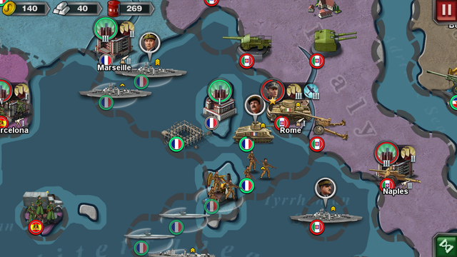
The map is divided into a number of hexagonal areas, you can restore the world in the world 3 (but it also means that btl to push down the whole)
Added, "the river's hindering effect" is actually a bit problematic, because in the sea will also hinder the use of rivers to describe only easy to understand. This role should be described in more detail as to the refusal of the land to external units. In addition, today is actually inspired by the black master of the post, saw his new map after I had the idea of modifying the terrain. But I can not change the pvr file, so I can not really complete a new map.
As for the terrain ID, with reference to assets / config / def_mapterrain.xml, a total of 20 terrain, just from 0 to 13 (hexadecimal).


